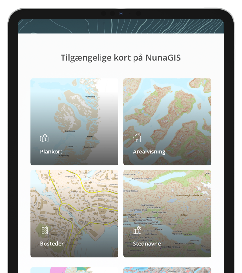
About NunaGIS
Each dataset is accompanied by metadata, making it easy for users to see who is responsible for the data, when it was last updated, and to access additional information about data quality and potential use.
Responsibility for the quality of the maps and geospatial data available through NunaGIS lies with the authorities that have registered or collected the respective data.
Asiaq – Greenland Survey – is the authoritative body for mapping data from Greenland’s settlements. NunaGIS is managed and maintained by Asiaq.